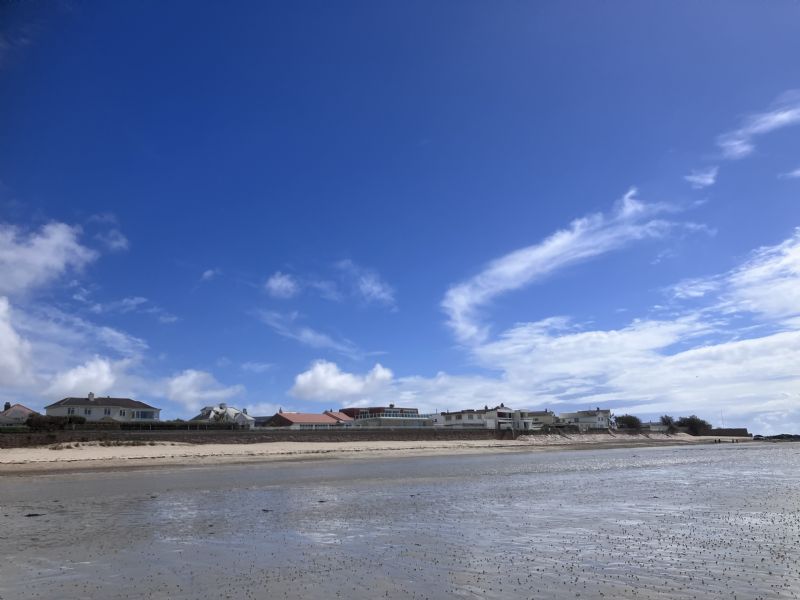
Cloudwatcher Sent in this image from -33.7473/150.6464
Good evening everyone from Emu Plains,
A continuation of showers overnight , mostly light and we had a minimum temperature of 13.5 c . Wind has become light . Another shower about to hit , quite heavy but it has moved through quickly !
Image sent in by Cloudwatcher
Good evening everyone from Emu Plains,
A continuation of showers overnight , mostly light and we had a minimum temperature of 13.5 c . Wind has become light . Another shower about to hit , quite heavy but it has moved through quickly !
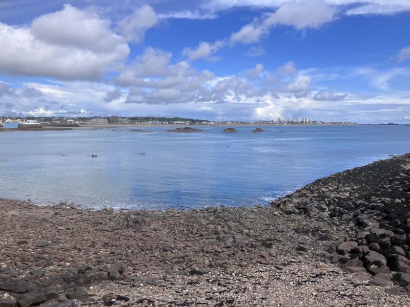
Update from Jersey
Looking at the photograph the sky looked very angry 😠. Walked along the beach to the Harbour yii on see the Boat show … and did get a little wet .
Image sent in by Anne
Update from Jersey
Looking at the photograph the sky looked very angry 😠. Walked along the beach to the Harbour yii on see the Boat show … and did get a little wet .
Stu (by the Thames) Sent in this image from Catford
Evening all...the forecast has been a bit back to front here with a brighter afternoon after a wetter morning...it was originally predicted the other way round. A current temperature of 15.0c in a light N'rly with pressure at 1008mb and humidity at 88%.
Image sent in by Stu (by the Thames)
Evening all...the forecast has been a bit back to front here with a brighter afternoon after a wetter morning...it was originally predicted the other way round. A current temperature of 15.0c in a light N'rly with pressure at 1008mb and humidity at 88%.
rain started yesterday afternoon ...... it hasnt stopped in 24 hours.......
a ghastly day...... good riddence to a rubbish day 2 pm calling it a day before it began
Image sent in by ian h
rain started yesterday afternoon ...... it hasnt stopped in 24 hours.......
a ghastly day...... good riddence to a rubbish day 2 pm calling it a day before it began
When Metcheckers aren't getting their latest weather fix on the site they tend to be taking stunning pictures of clouds. After all, we all love looking at beautiful sunsets, mist on a spiders web and clouds shaped like thingies don't we?
Take a look at the latest images uploaded and if it inspires you to take some picture then please feel free to upload them by using the feature at the bottom of the page.
Taken a great weather photo?
It's so easy to upload it to our gallery. All you have to make sure is that the image is a jpeg and on your hard drive. Then select the image, click upload and we'll create a thumbnail and full size image for all Metcheck viewers to enjoy.
High pressure develops across the UK this week, but the showers.... they keep on coming...
Added : 11 hours ago
Thunderstorms now developing across Uruguay, sunglint in Crete and thunderstorms also developing across parts of the UK today...
Added : 6 hours ago
Showers across Southern Scotland this morning with some heavy showers moving into Southeast England and thunderstorms in the Channel...
Added : 17 hours ago
Want to see where precipitation is dropping out of the sky right now across the UK? No worries, check out the 15 minute radar below which loops through the last 6 hours of information.
Toys Similar To This :-
Whoah! How clever is this? The Metcheck Thunderstorm Tracker Satellite allows you to see the developing storms across Western Europe and tells you whether they are growing or decaying. Every 15 minutes we take a snapshot of the cloud cover then measure the temperature and height of the clouds and show you whether the area of clouds are developing into thunderstorms and what direction they are moving in.
Toys Similar To This :-
Live weather data from around the country displayed on Google Maps
Toys Similar To This :-
These are the latest NCEP GFS model weather charts at Metcheck.
Toys Similar To This :-
You probably hear a lot about the Jet Stream in the news. It's either too far North or too far South. The jet stream is identified as winds at 300mb (during Winter) and 200mb (during Summer). It is these winds which are responsible for driving and developing weather systems across the Atlantic.
Metchecks own GHX model charts out to 240 hours ahead
Toys Similar To This :-
The Metcheck 7 Day Forecast takes the best from the GFS weather models and displays it in easy to read maps for the UK out to the next 192 hours ahead.
The Metcheck 7 Day Forecast takes the best from the GFS weather models and displays it in easy to read maps for the UK out to the next 192 hours ahead.
Showing you where frost and ice is expected to develop out to 16 days ahead.